Until now, the most common way of approaching the study of communication routes has been to focus on the places where the routes started, ended and passed through. This approach is crucial and partly inevitable, but Itiner-e will explore an alternative to this.
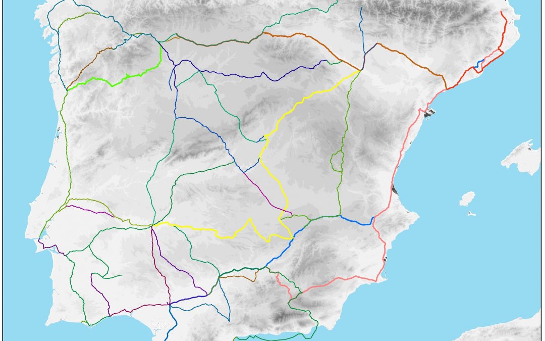
The novelty in this project is that each possible route between every pair of places is understood as a single element that is either historically documented or not, but can all be unambiguously referred to. In other words, it is not the sets of places conceptualised as points that create a route, but the opposite: we conceptualise routes as entities connected through places. Each potential route between a pair of places can receive a unique URI to refer to it, if it is historically documented or merely mentioned. Doing so will enable for each route (segment) the linking of historical documentation, GIS vector-based descriptions of its physical path, photos and other research outputs. Doing so stimulates debate and multivocality of opinion, but it also enables the documentation of different chronological phases of the same route. It will be possible to observe how a locality has some links with other places at a certain moment and how subsequently these relationships change.
Each of the created elements (tracks) will configure a new online gazetteer item accessible and linked with other sources of information such as Pleiades. In this way, it will be possible from any existing node in a route to quickly visualize all the information of the set: to which way (or routes) it belongs in a certain moment or in several moments; which cities or settlements are related to it; explore the role this place played in the global network, etc.